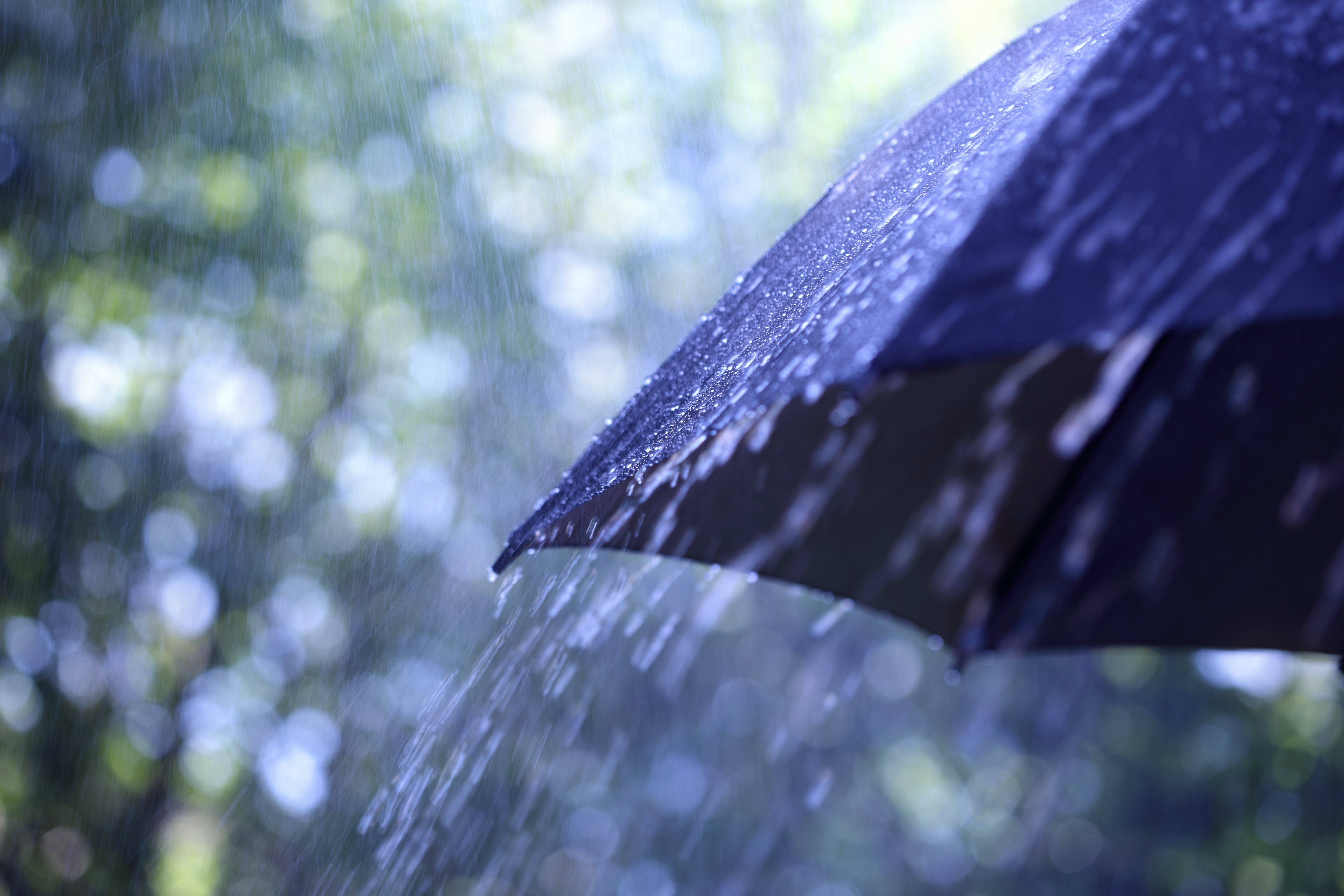
The Border City saw an exceptionally rainy June this year. Last month ranks as the sixteenth wettest June on record, clocking 106.7 mm of rain. Normal levels are around 70.6 mm, putting it about 151 per cent of normal precipitation.
Compared to previous years, this past June hadn’t seen as much rain as early summers from 2011 until 2014. The four years leading up to 2019 were significantly more dry which may make the rain seem more than usual. Blaine Lowry, a meteorologist with Environment and Climate Change Canada, thinks it’s hard to isolate this past June as a sign of worsening weather, as June and July are the months we receive most of our rainfall.
“The normal for June is 70.6 mm, and for July it’s actually 75.3, so it’s not unusual for Lloyd to get most of its precipitation during these months,” says Lowry.
While we do see most of our rain in those two months, Lowry admits June was more wet than normal. He says most of our rain is given by thunderstorms. A total of 30 mm from a storm or rain event can give more than a third of our normal precipitation. It’s not expected to be drab and rainy all month, however, it certainly looks that way heading into July.
“There’s not a huge change in the weather pattern, at least into the early part of next week. It’s looking that Sunday (July 7) in particular might be a wetter [sic] day for Lloydminster and other areas of eastern Alberta, but hopefully, that pattern switches at some point for all of us,” says Lowry.
The forecast for the rest of the week is expected to be cloudy with chances of rain. From Friday, July 5, until Tuesday, July 9, it’s expected to be cloudy with a 60 per cent chance of showers.


